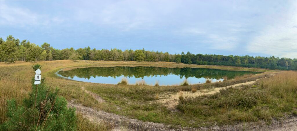
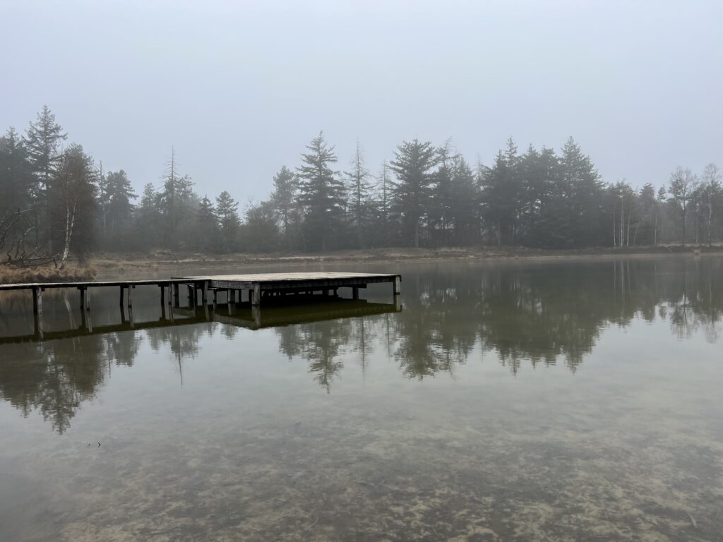
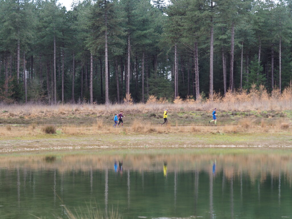
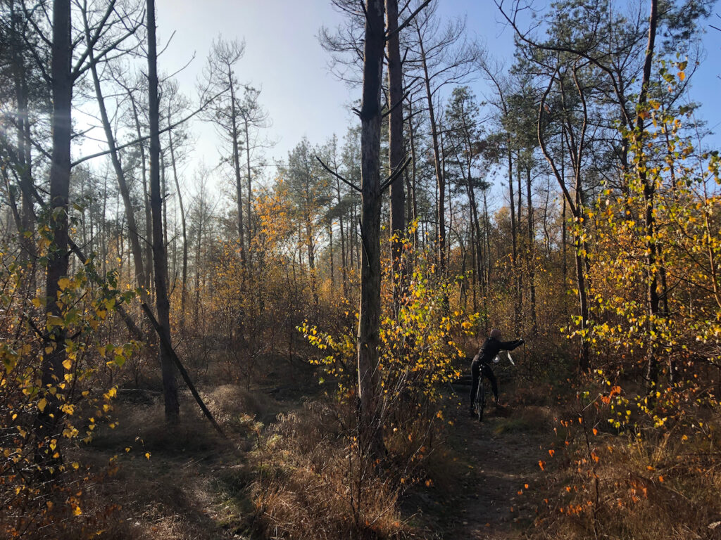
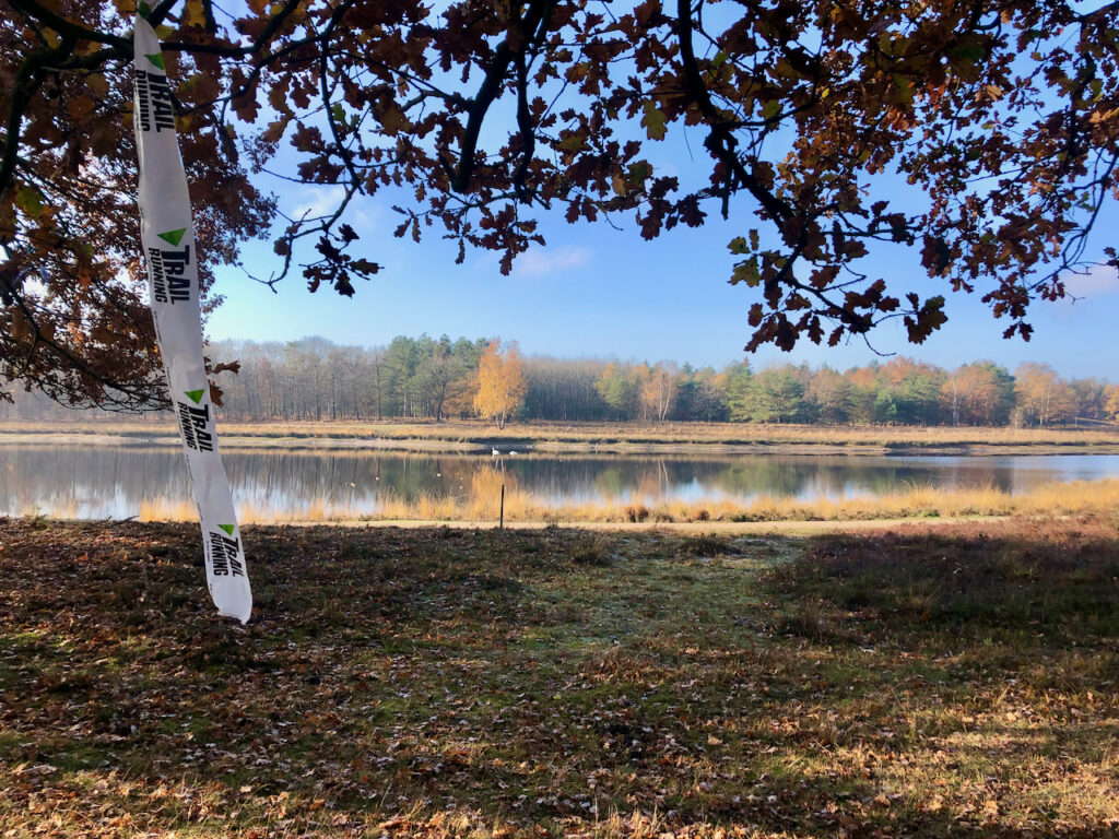
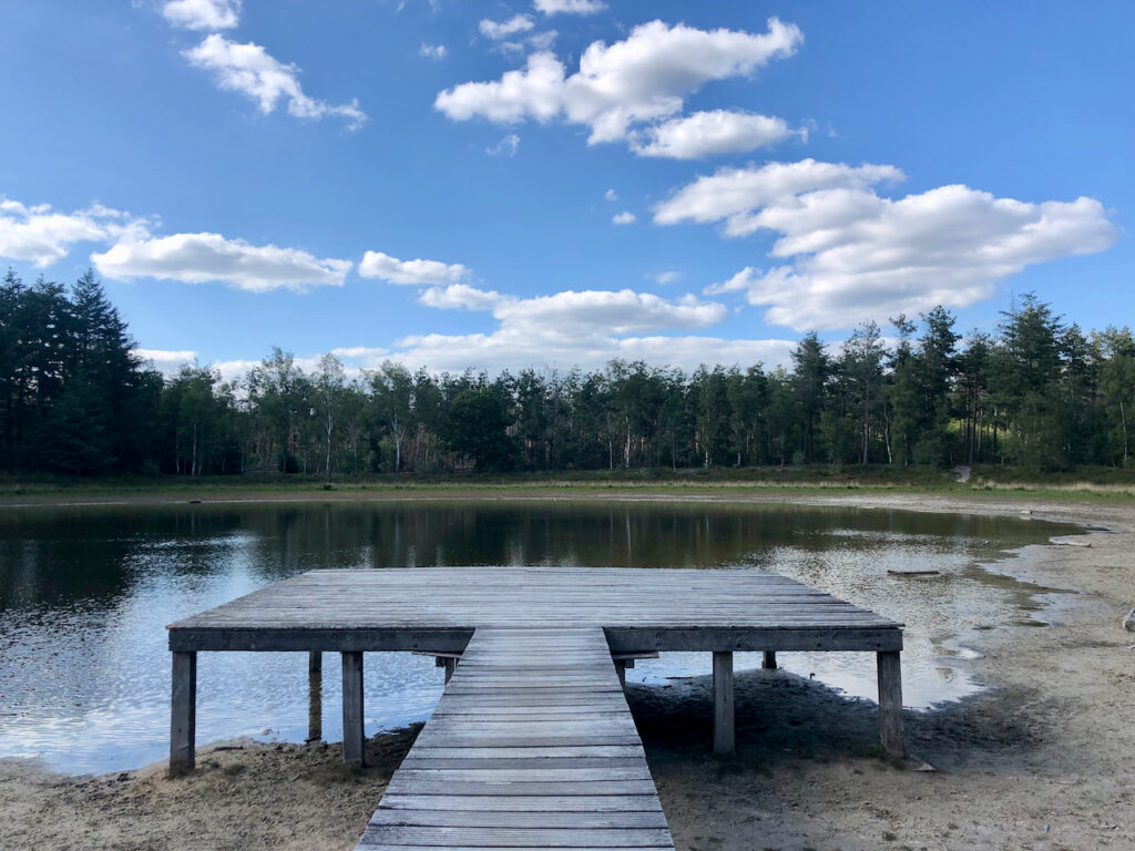
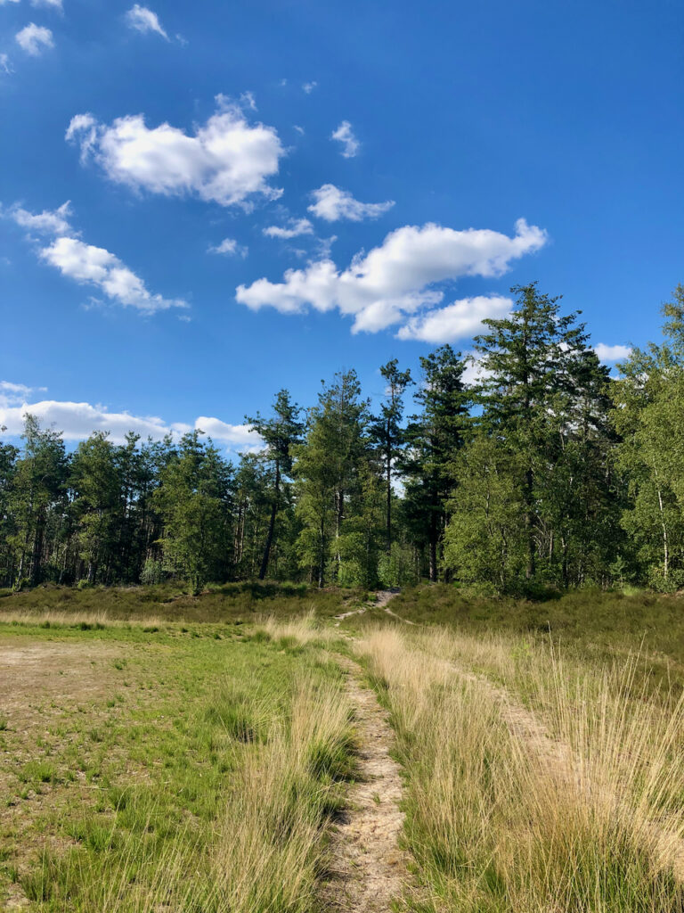
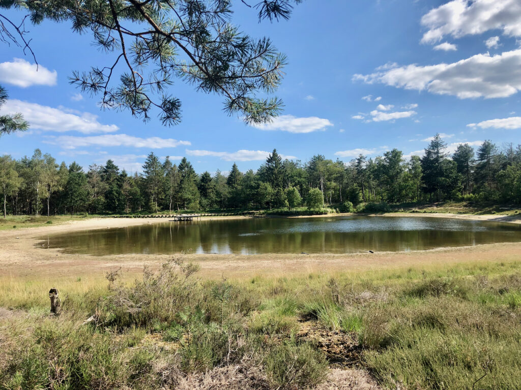
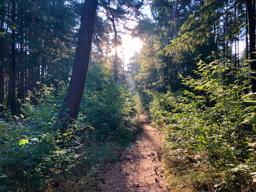
The Keelven Trail
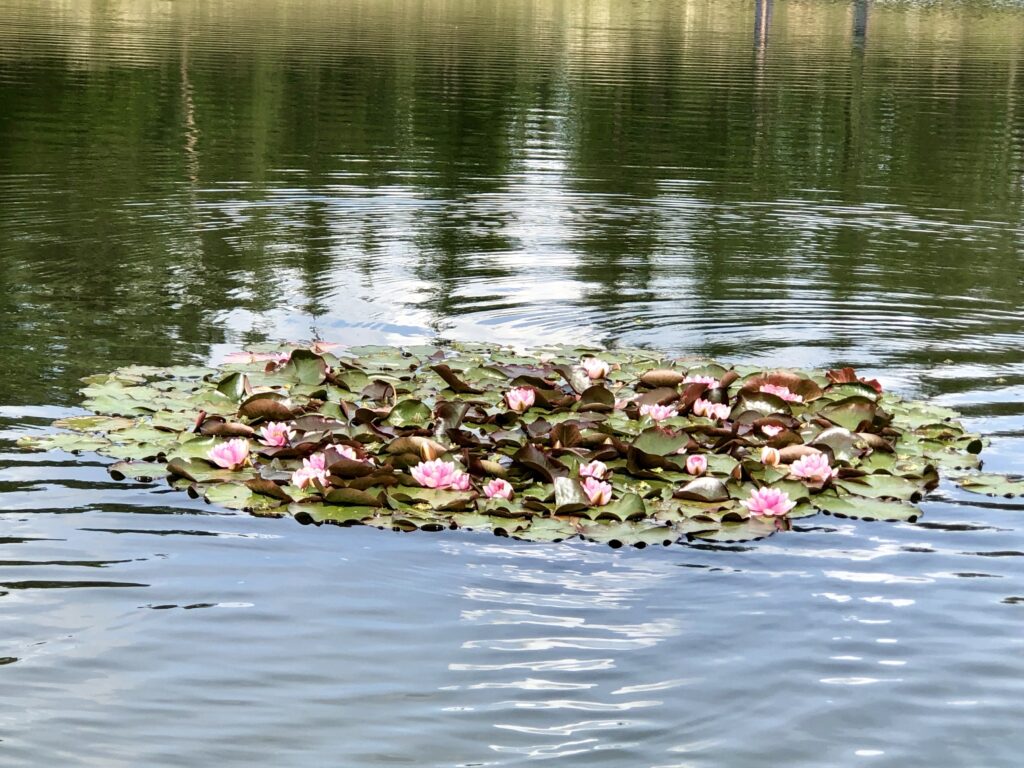
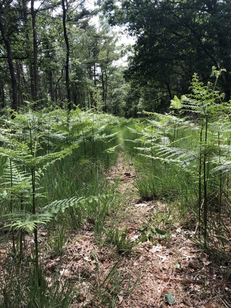
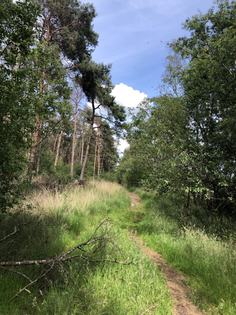
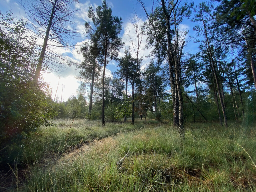
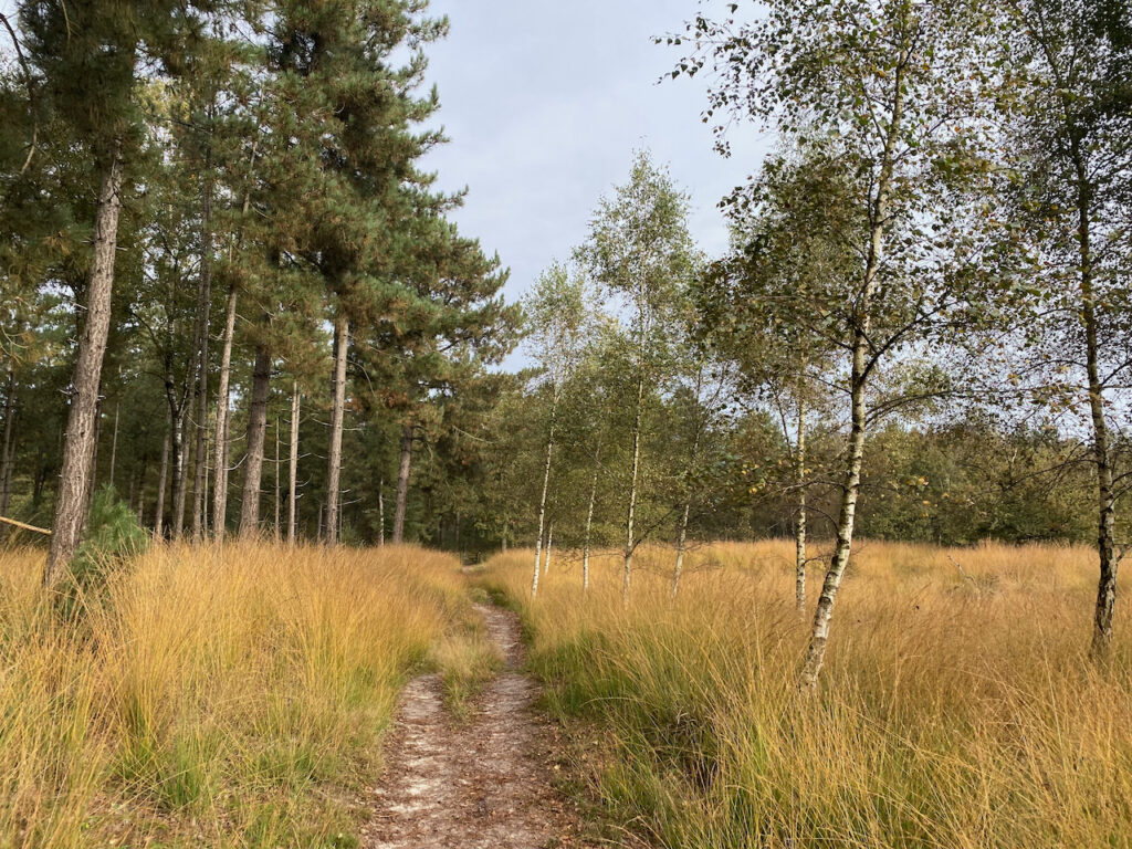
Beautiful fens alternate with challenging single tracks.
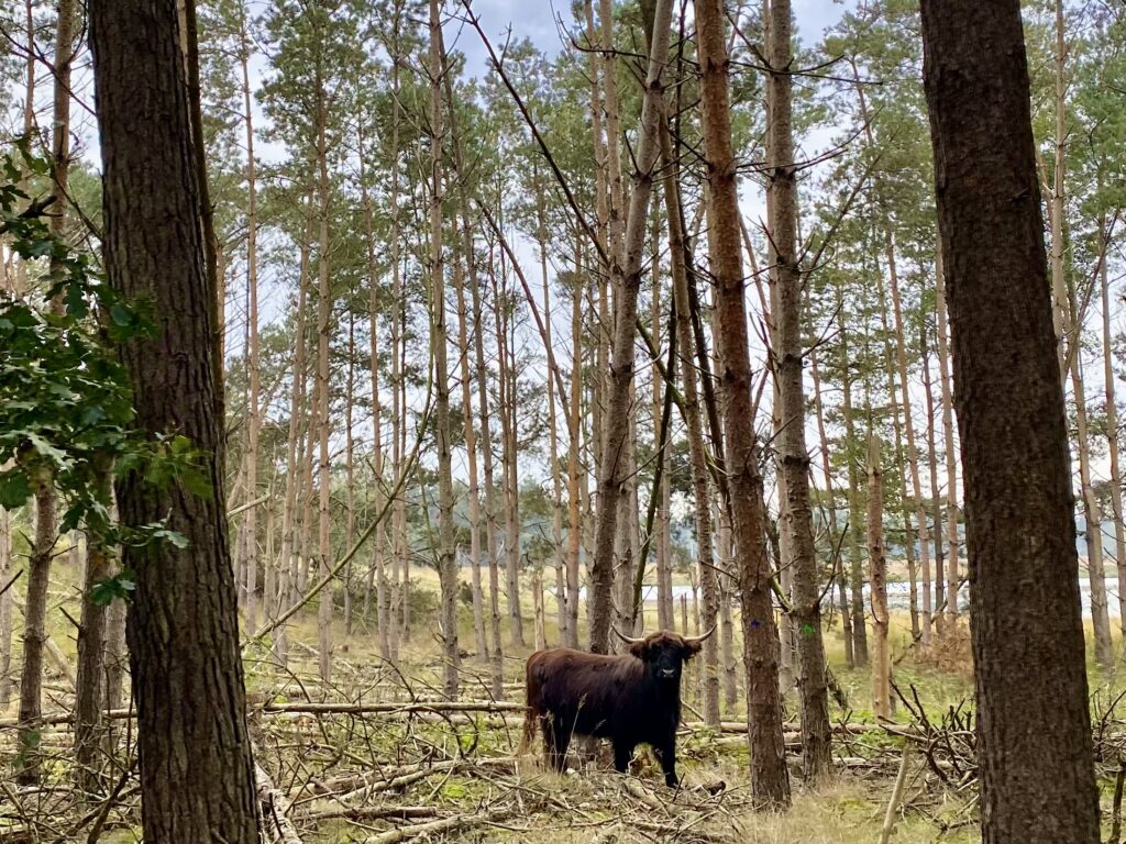
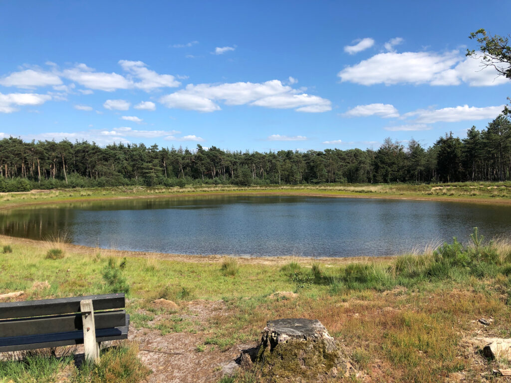
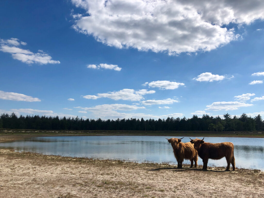
Special grazing residents can be admired around the Keelven. The shorter distances of 5 and 8 km are perfect for the novice trail runner who wants to get a good idea of what trail running entails.
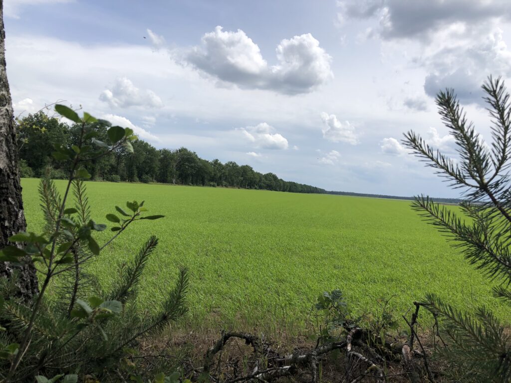
The 10, 13 and 18 km continue and show you the entire area.
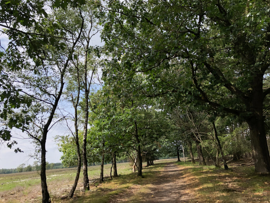
Natuurpoort Vennenhorst
The start and finish is on the lawn in front of the Soete Inval. The entrance to the Vennenhorst Nature Gate is the backdrop to the trail.
![]()

![]()
![]()
![]()
![]()
Information
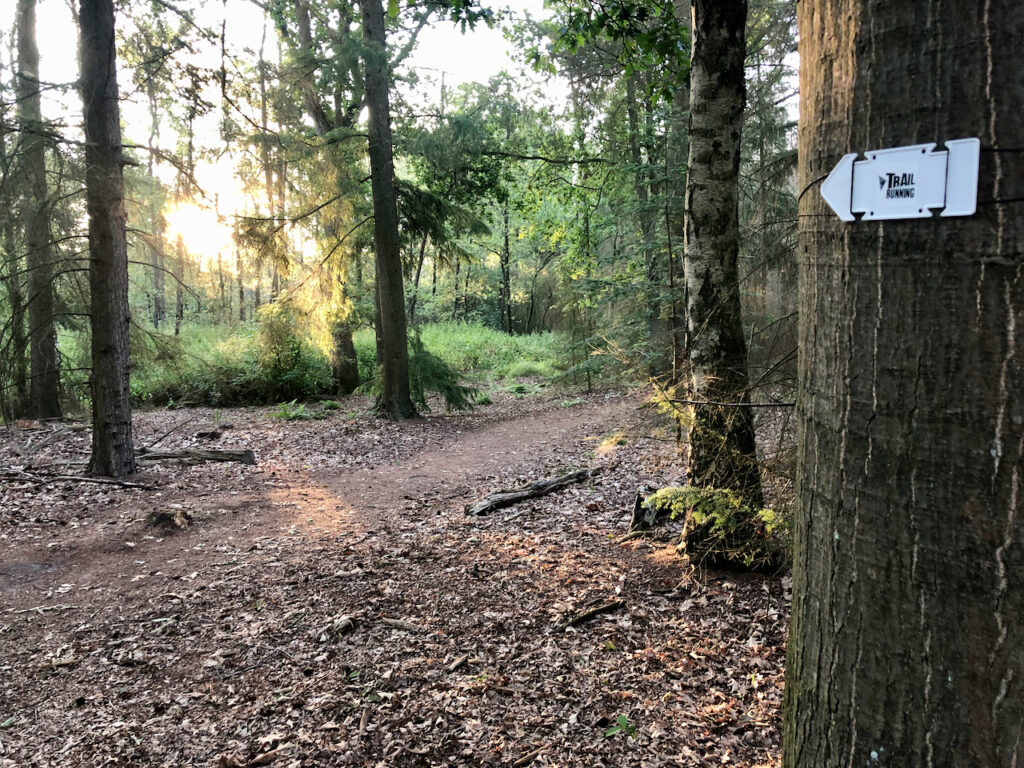
- All routes are fully indicated with arrows
- Resupply after each loop, at the start/finish location of the Keelven Trail
- There are NO plastic cups available, so please provide your own cup/bottle. It is possible to purchase a Trail Running Racecup from the competition secretariat on the day of the event.
- Participants will receive an email with additional information two days before the event
Map
