Information
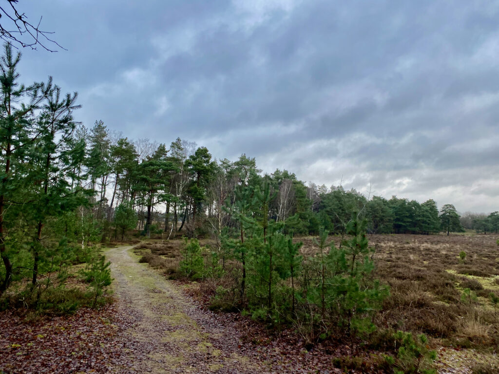
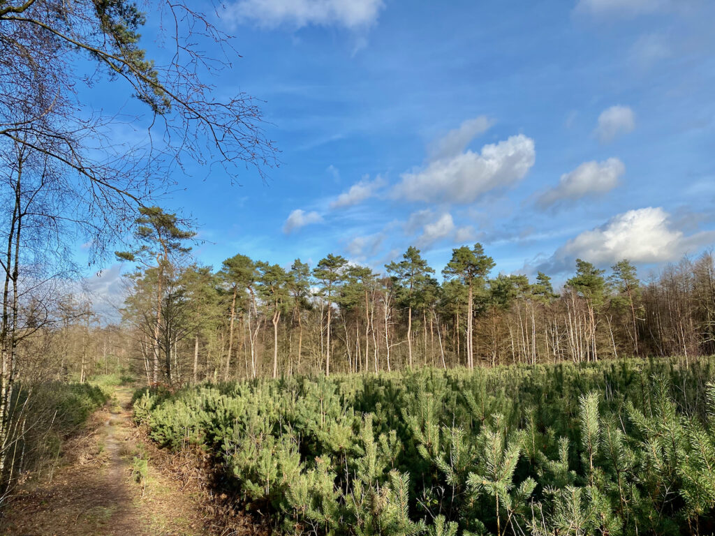
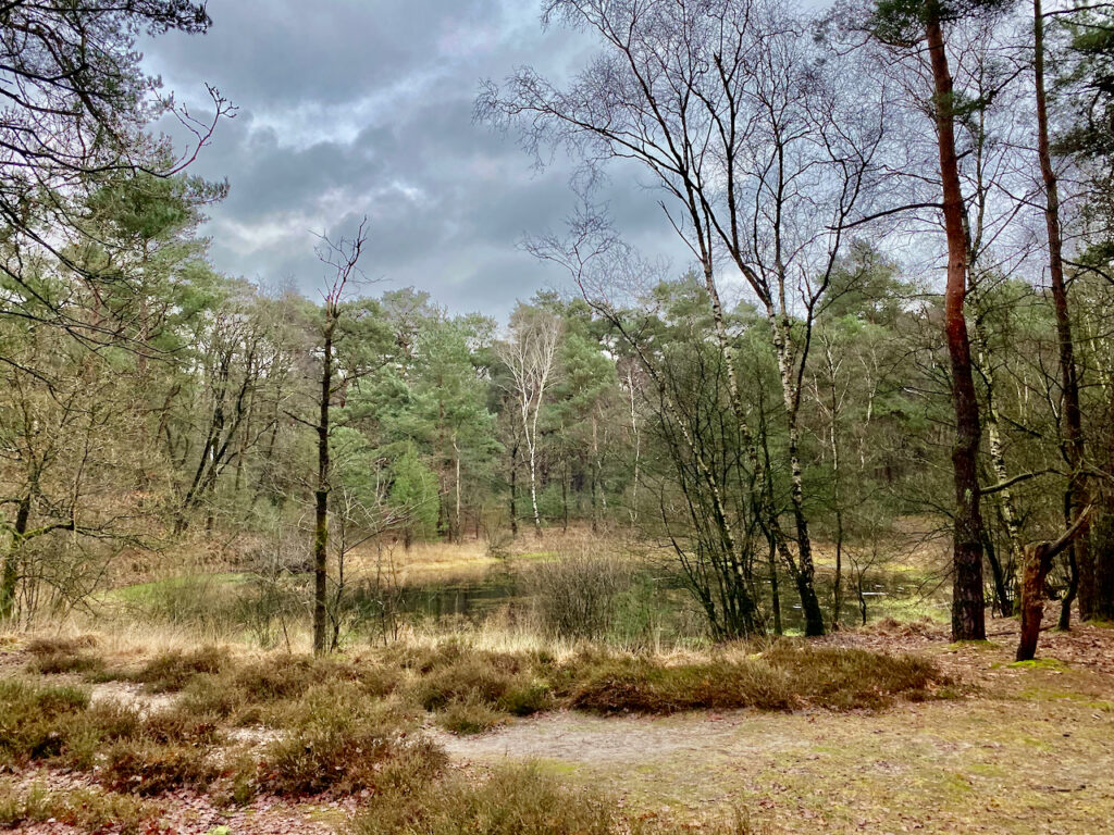
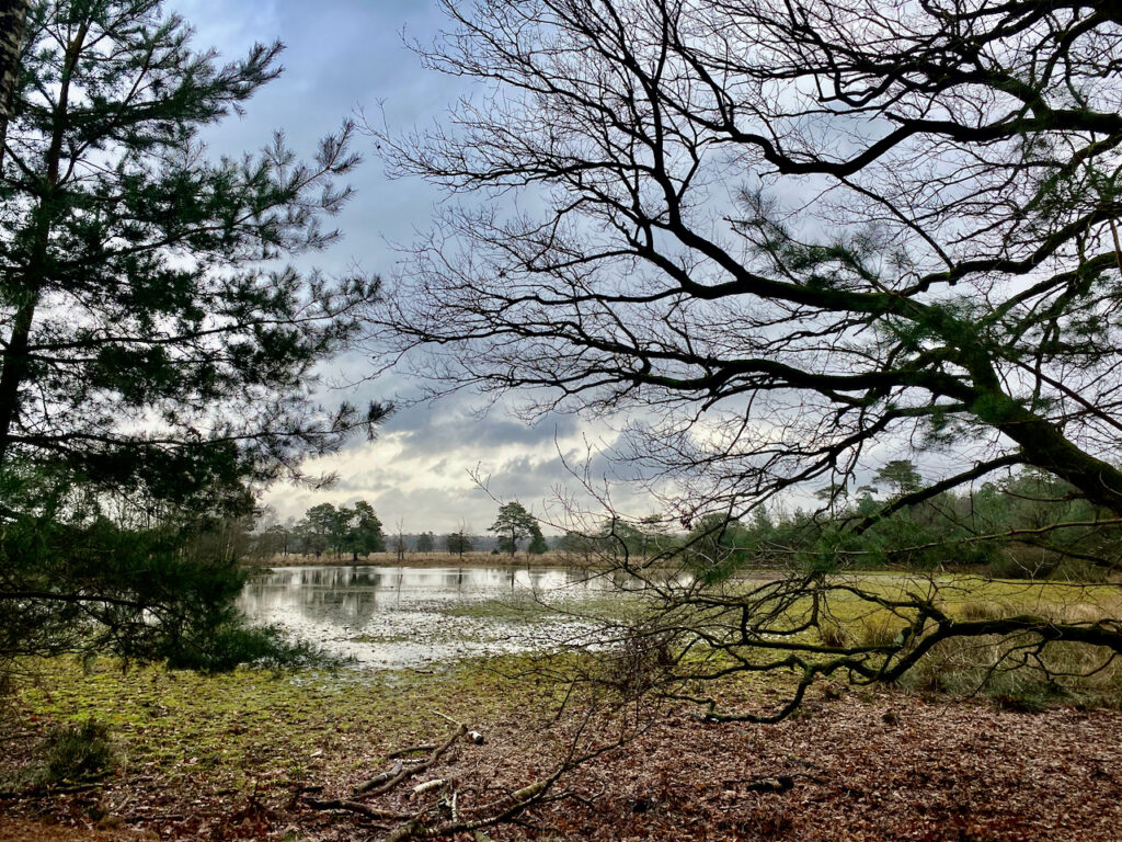
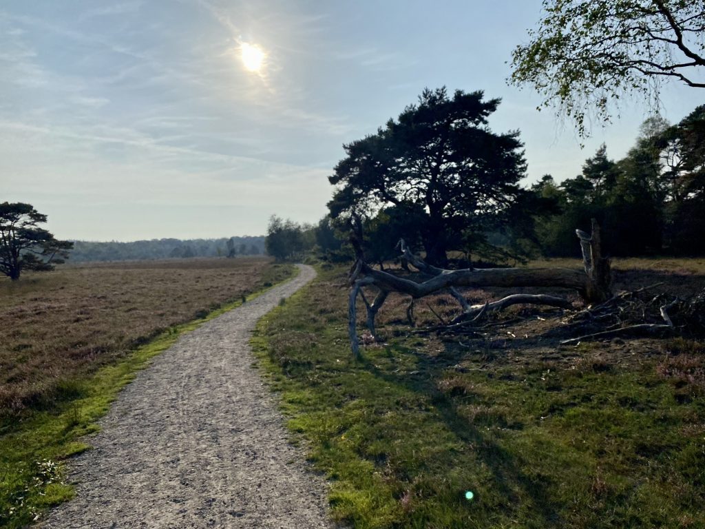
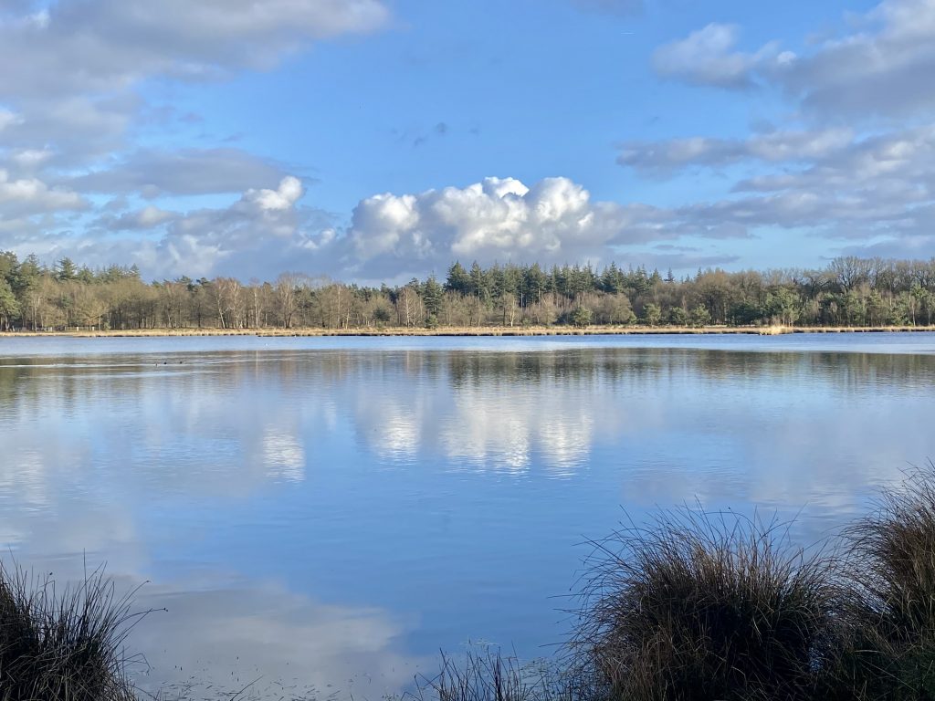
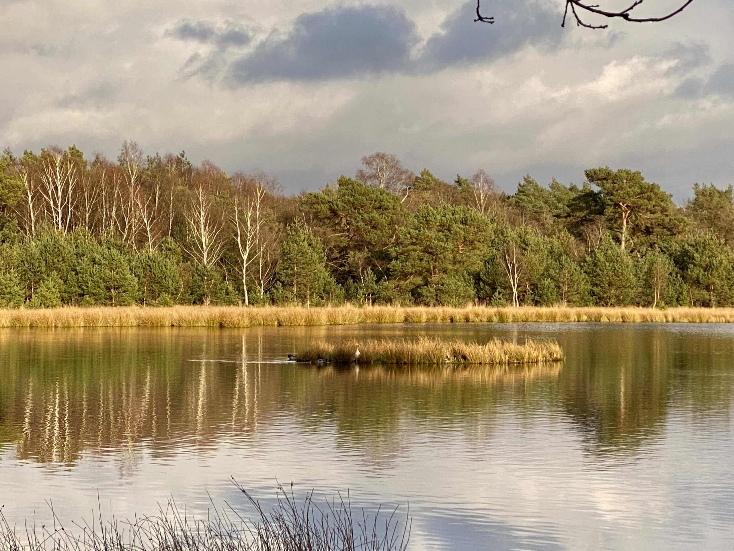
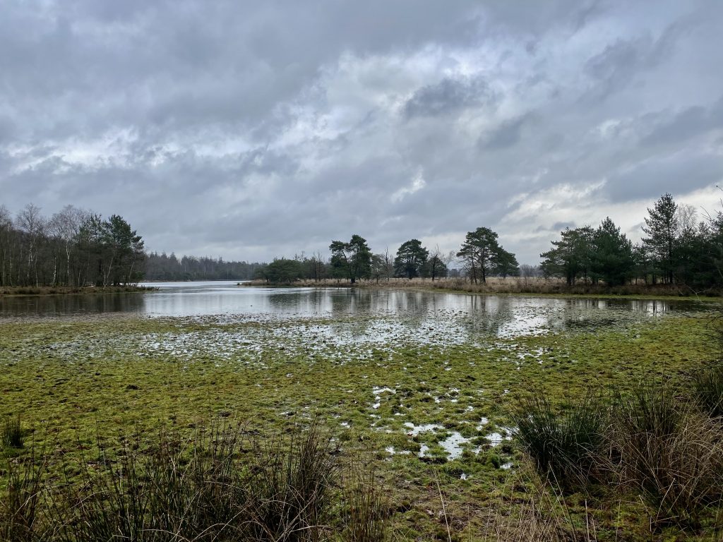
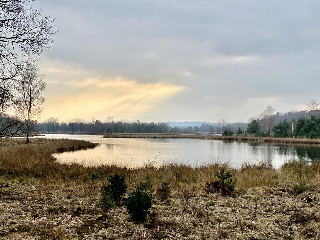
The Leersumse Veld Trail will depart from Landgoed (Estate) Ginkelduin, in the middle of nature. There are many possibilities to travel to this beautiful park, please consider taking your family along!
There are two distances to choose from, the 11km or 21km trail.
![]()
![]()
![]()
![]()
![]()
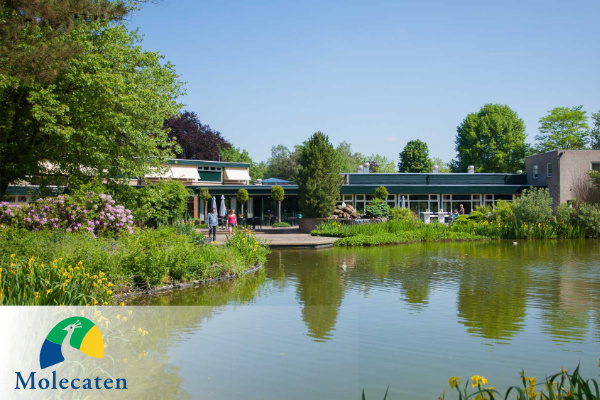
Recreation park Molencaten Ginkelduin is our partner for the Leersumse Veld Trail. There is sufficient parking space, follow route P. Feel free to take your time before and after you participate in our trail, the hospitality team of Molecaten Ginkelduin will welcome you with great pleasure.
Spend the night at the park
You want to combine our event with a weekend away? You can!
Go to the website and see what options are available to you: https://www.molecaten.nl/landgoed-ginkelduin
Molecaten Landgoed Ginkelduin
If you want to make a reservation for a meal afterwards, please use the following information:
Phone: 0343 – 489 999
E-mail: landgoedginkelduin@molecaten.nl
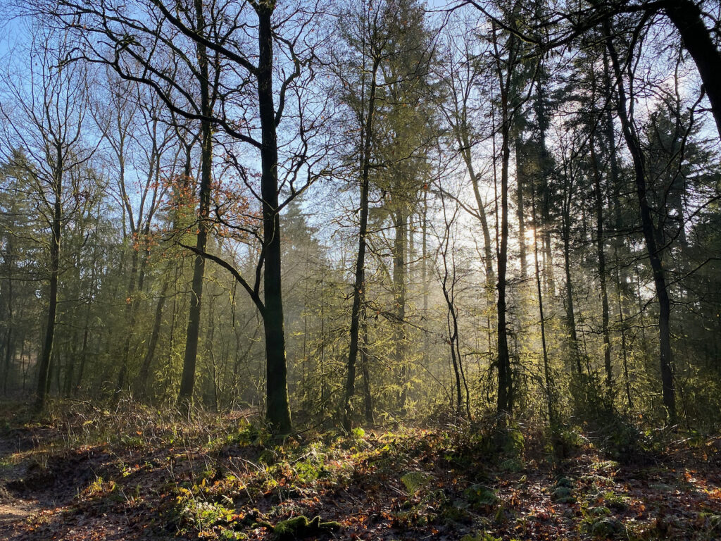
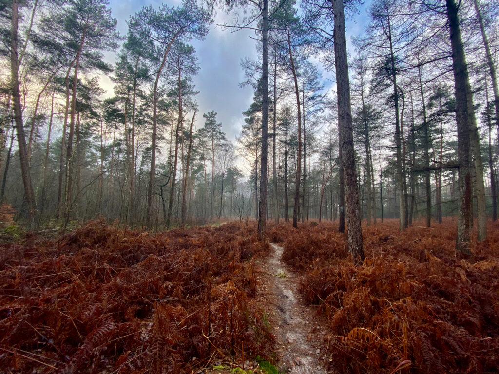
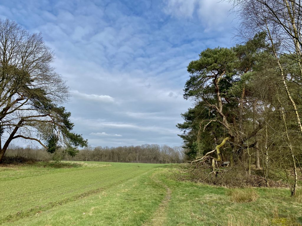
The 11 and 21km
- The route is fully marked with arrows and ribbons
- There are no cups available, so bring your own (reusable) racing cup
- Two days before the event, participants will receive an email with all the information needed to be well prepared
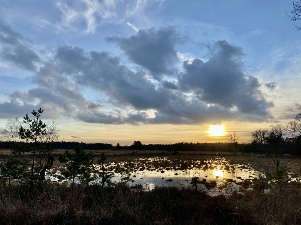
Map
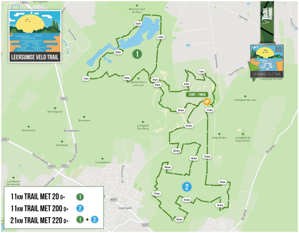
This map shows the route for both the 21km and the 11km trail. The 21km trail runs both loop 1 and loop 2. The 11km trail can choose between loop 1 or loop 2.
- Participants run loop 1 + loop 2
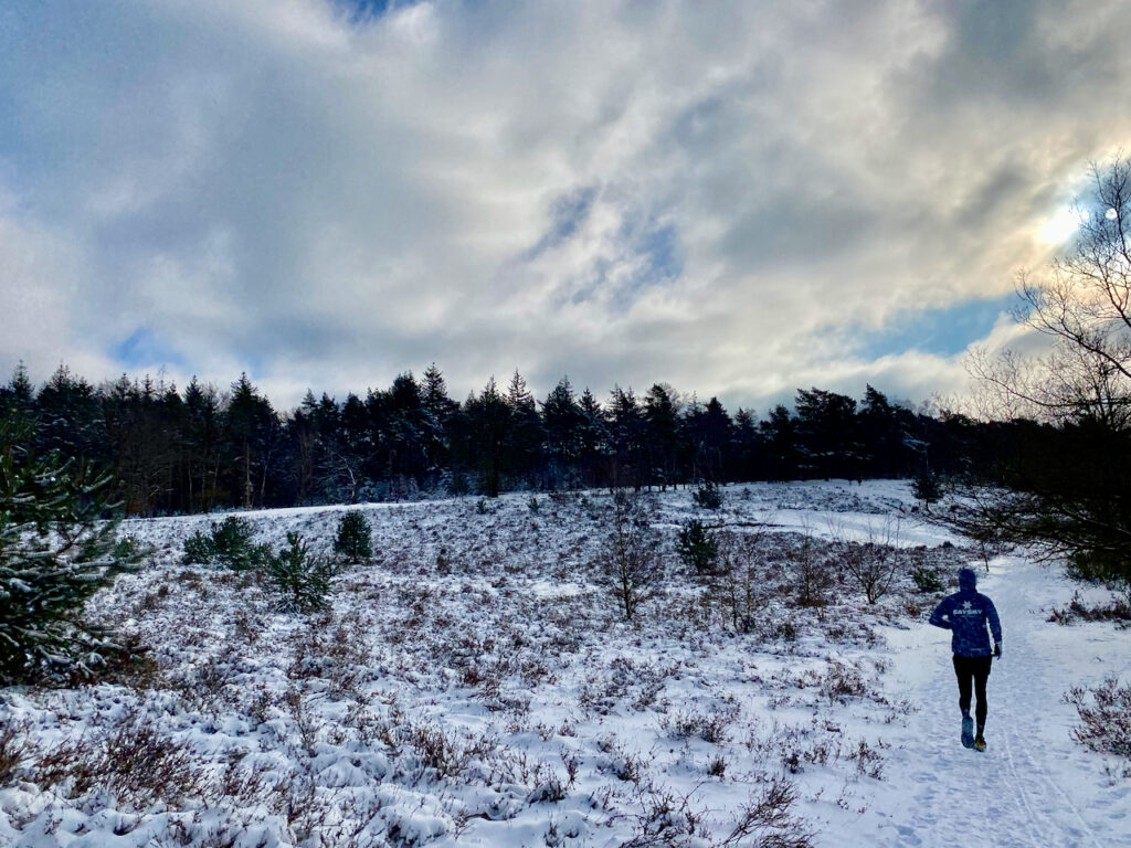
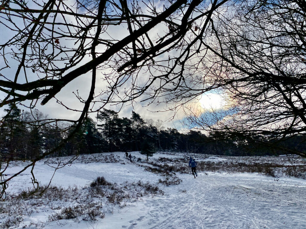
- This trail has a total of 220 meters of elevation
- The elevation gain is mainly in loop 2, so it starts after about 11km
- Resupply at 11km and at the finish
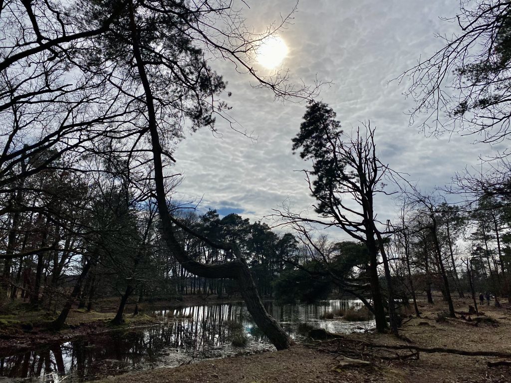
With this 11km trail you can indicate on the day itself whether you prefer loop 1 or loop 2. The difference here is mainly in the altitude meters, but the environment is also different.
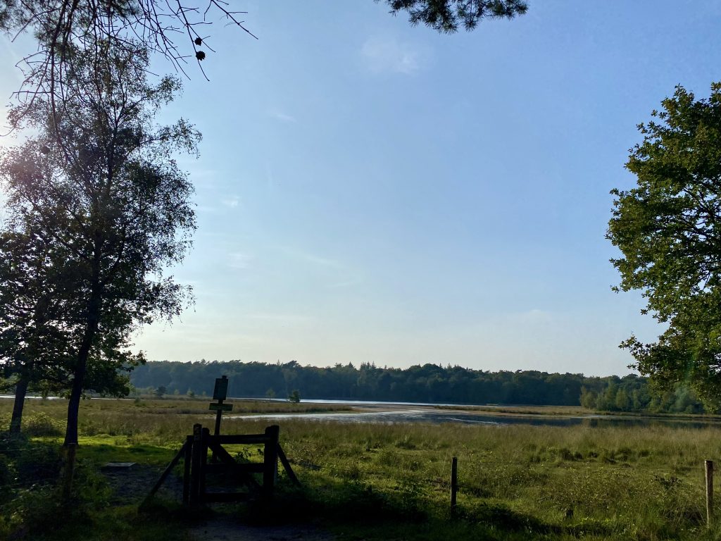
- Loop 1 has 20 meters of elevation gain; around the beautiful Leersumse Veld, with water on your path
- Loop 2 has 200 meters of elevation gain; through the woods towards the Hoge Ginkel
Supplies at the finish
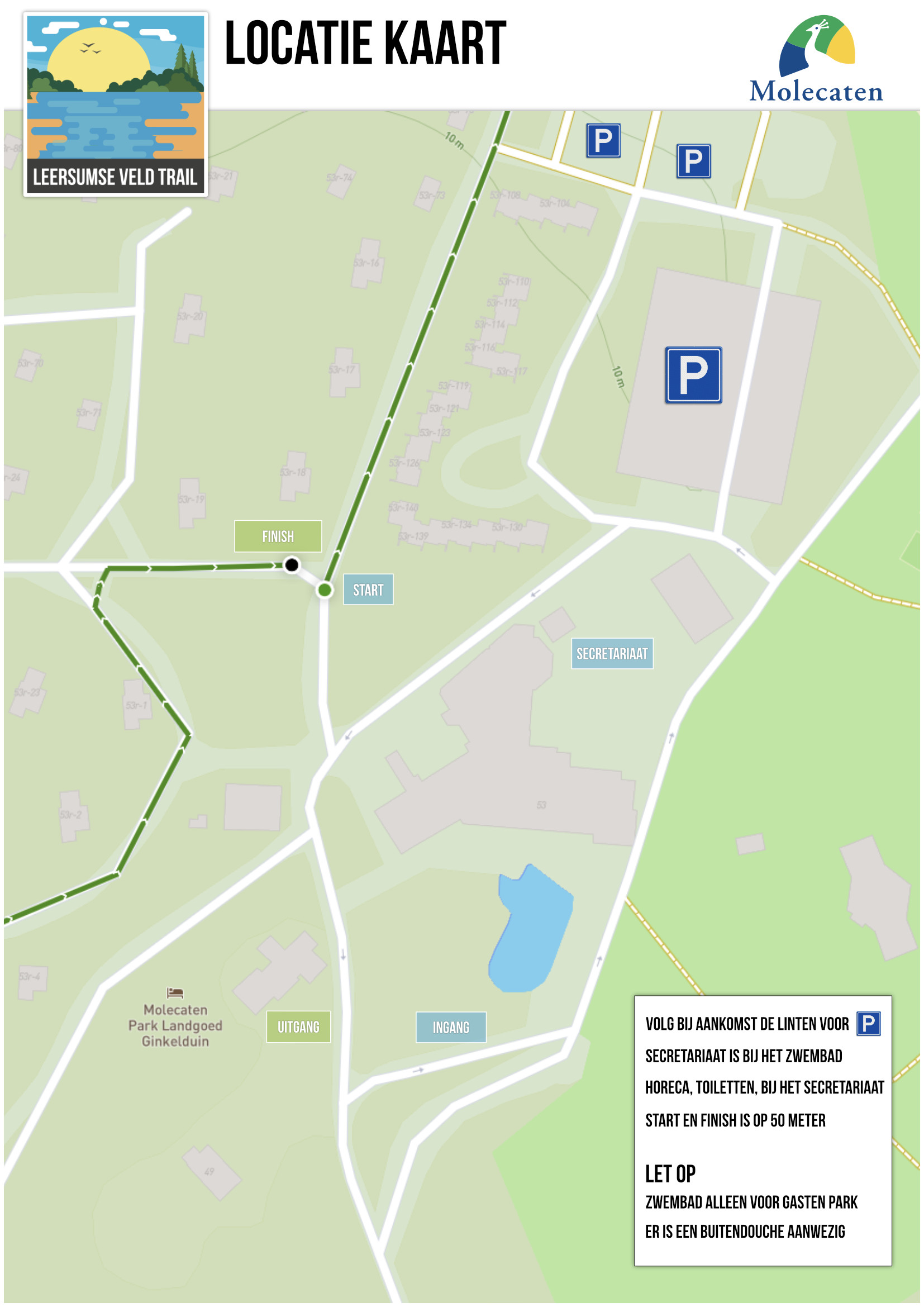
Translation: When you arrive, follow the ribbons towards the parking area. The race secretary is located at the pool’s hospitality service, toilets can be found there as well. The start will be 50 meters from the administration.
The pool is only accessible to guests of the park. There are no open-air showers present.